
Navigating the Storm: How Advanced Lightning Intelligence Balances Safety and Operational Continuity at Airports
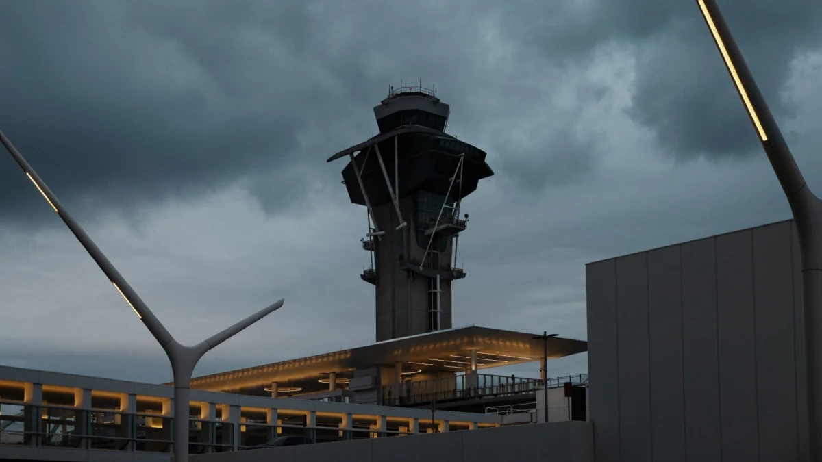
Airports are dynamic, high-stakes ecosystems where the margin for error is exceptionally narrow. When severe weather approaches an airfield, protecting human life becomes the absolute priority. However, the decision to suspend ground operations triggers a cascade of effects that extends far beyond the personnel directly exposed to an oncoming storm. A single ground stop can instantly disrupt aircraft turnarounds, gate availability, passenger connections, and the complex flow of traffic throughout the entire facility. At the same time, prematurely resuming activity can expose ground crews, contractors, and airline employees to severe, life-threatening risks.
Achieving a delicate balance between uncompromising safety and operational continuity requires high-precision weather intelligence. As airports grow increasingly congested and operations more tightly timed, the quality, accuracy, and timing of meteorological data have become critical factors in modern aviation management.
Knowing When to Suspend Operations
Lightning safety protocols across the global aviation industry are built upon a fundamental and uncompromising principle: when environmental risk reaches an unacceptable threshold, personnel must immediately seek shelter. The primary operational challenge, however, lies in precisely determining when that threshold has been crossed and, conversely, when the hazard has sufficiently passed to safely resume work.
Modern airports rely on sophisticated lightning detection networks that provide real-time, high-resolution tracking of electrical activity. By establishing predefined alert zones around the perimeter and interior of the airfield, operations teams can automate critical safety responses. When lightning is detected within a specified radius, specific safety protocols and notifications are automatically triggered.
The sizing of these alert radiuses involves a strategic operational trade-off. A larger alert radius provides ground personnel with significantly more lead time to prepare, pack up equipment, and reach secure shelter, but it simultaneously extends operational downtime across the facility. Conversely, a smaller radius minimises costly disruptions, but leaves a compressed timeframe for personnel to react and evacuate the open tarmac.
To navigate this challenge, regulatory bodies such as the US Federal Aviation Administration recommend employing a layered approach. This strategy utilises a smaller critical safety radius alongside a broader advisory zone. Such a tiered framework grants operations teams an early indication that a storm is brewing long before lightning reaches the critical threshold required to mandate a full suspension of airfield activities.
The appropriate thresholds are never one-size-fits-all; they depend heavily on the unique environment of each airport, the physical layout of the airfield, and the time required for different workers to reach safety. For instance, a ramp worker stationed immediately adjacent to a terminal building may be able to retreat to shelter in a matter of seconds, whereas contractors, maintenance crews, or baggage handlers operating in remote areas of a sprawling airfield require a considerably longer warning window.
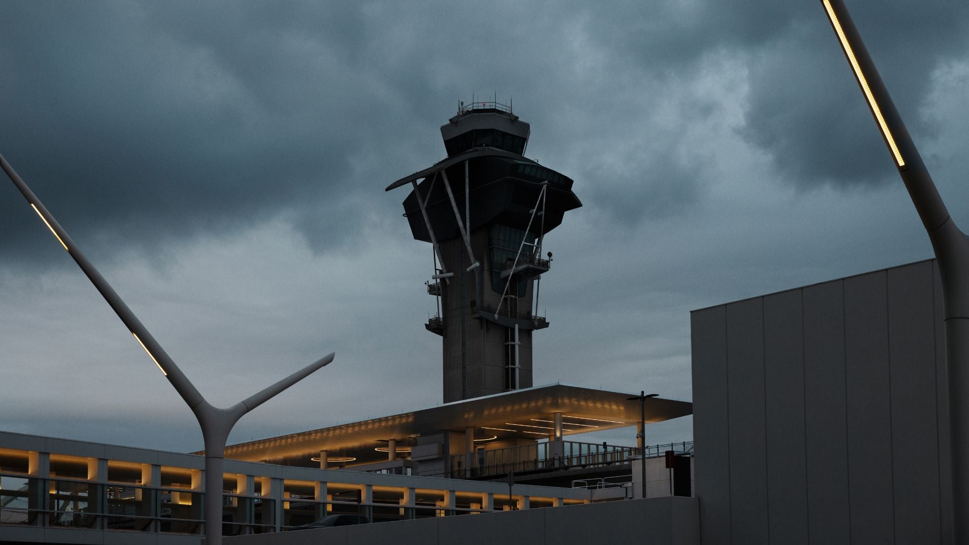
Advanced lightning forecasts further enhance this decision-making process. By offering predictive visibility into lightning risks before a storm even enters the immediate vicinity of an airport, forecasting tools provide operations teams with vital extra time to prepare personnel, coordinate closely with airline and ground-handling partners, and initiate proactive safety measures ahead of time.
Knowing When It Is Safe to Resume Operations
Once personnel have been successfully evacuated to shelter, airport operations teams face the equally delicate task of continuously monitoring the storm’s trajectory and intensity. Returning to active duty too soon after the last observed lightning strike introduces the dangerous possibility of having to halt operations repeatedly if the storm loops back or intensifies.
The interval between the last recorded lightning event and the official decision to lift a suspension is widely referred to in the industry as the "clear time." The FAA generally recommends a minimum ten-minute waiting period following the last detected lightning strike within the critical safety radius. Nevertheless, specific operating procedures can vary significantly depending on local regulatory requirements, historical weather patterns, and the individual risk tolerance of the airport operator.
A longer clear time offers an enhanced safety margin for everyone on the airfield, but it inevitably protracts the resulting operational downtime and delays. On the other hand, a shorter clear interval helps minimise financial losses and scheduling bottlenecks, but elevates the risk of interrupted workflows and repeated safety stoppages.
To refine these decisions, modern meteorological systems monitor "total lightning," which encompasses both cloud-to-ground bolts and in-cloud electrical activity. In-cloud lightning accounts for roughly three-quarters of all electrical activity in a developing storm and typically occurs much earlier than cloud-to-ground strikes. Tracking this total activity provides operations teams with an advanced, comprehensive picture of storm development long before traditional detection methods would sound the alarm.
Maintaining a Unified Safety Picture Across the Airfield
Consistency is paramount when managing the safety of thousands of employees, airline crews, ground handlers, fixed-base operator (FBO) personnel, and independent contractors working simultaneously across a vast airfield. When different organizations operate under disjointed or ad-hoc weather guidelines, confusion and increased safety risks inevitably follow.
Automated alerting systems establish essential consistency by applying uniform, predefined criteria across all departments, teams, and geographical locations within the airport boundary. Information, warning, and alarm thresholds can be meticulously configured to reflect the progressive stages of an approaching storm, with automated notifications routed instantly to the specific individuals responsible for designated safety actions.
Practical integration of this unified approach can be seen at major facilities, such as a prominent Canadian airport that sought to streamline its severe weather protocols. The facility needed a robust lightning safety system capable of protecting airport staff, airline representatives, FBO personnel, and ground crews alike. Furthermore, the airport aimed to provide arriving and departing pilots with real-time visibility of current lightning alert statuses directly at the gate, enabling flight crews to clearly understand when it was safe to connect ground power units or initiate pushback procedures.
By deploying an integrated lightning alerting and severe weather monitoring solution configured to local operational criteria, the airport successfully bridged the communication gap. Automated email and SMS notifications were dispatched immediately to ground operations teams, while the live alert status was seamlessly integrated via application programming interfaces (APIs) into digital displays located at every aircraft gate. This created a standardized, transparent approach to lightning safety that ensured vital hazard information was instantly accessible wherever it was needed most.
Measuring the Impact Beyond a Single Storm
The paramount objective of any airport lightning safety programme is unequivocally the protection of human life. While metrics such as injuries avoided or lives saved are profoundly important, they remain inherently difficult to quantify in daily operational reports. However, airports can directly measure, analyze, and optimize flight delays, ground downtime, and the substantial financial costs associated with weather disruptions.
When operators rely solely on generalized regional weather forecasts and broad public warnings, operations are frequently suspended as a precaution for storms that ultimately change direction, weaken, or dissipate entirely before ever reaching the airfield. Furthermore, limited visibility regarding a storm’s true behavior often keeps an airport’s ground operations suspended for significantly longer than necessary.
Accurate, hyper-local lightning detection provides a scientifically sound foundation for deciding precisely when to halt and resume operations. This precision helps drastically reduce false alarms and avoidable downtime without ever compromising the safety of workers on the tarmac.
Over extended periods, airport operators can compare recorded flight delays, cumulative downtime, and operational expenditures against historical lightning data, alert triggers, clear times, and actual operational responses. This long-term data analysis allows management to evaluate whether current safety procedures are successfully achieving the ideal balance between absolute safety and commercial continuity, while unearthing recurring meteorological patterns that can inform future procedural adjustments.
Smarter Lightning Intelligence for Modern Aviation
Advanced platforms like Xweather Protect are transforming how aviation facilities handle severe weather by combining real-time lightning detection, predictive forecasting, highly configurable alert zones, and automated multi-channel notifications into a single cohesive solution.

Powered by high-capacity lightning tracking infrastructure capable of detecting significantly more electrical discharges than legacy technologies, modern systems can trigger localized lightning alerts within seconds of detection—often providing warning well before the sound of thunder reaches the airfield. Integrated lightning risk forecasts add an extra layer of strategic foresight, extending the operational decision window by up to an hour.
Airports can configure multiple alert tiers for distinct zones across their property, customize individual alert distances and clear times, and route targeted notifications directly to the responsible operational teams. Whether delivered via SMS, email, or integrated directly into on-site infrastructure such as warning sirens, strobe lights, and gate displays, this intelligence ensures seamless communication.
Additionally, comprehensive post-storm reporting and historical data archives empower airport operations and civil engineering teams to thoroughly review past weather events, prioritize targeted airfield inspections, and critically assess operational decision-making over time.
For modern airports striving to maintain safety across a complex network of personnel, aircraft, and commercial partners, the ultimate objective is clarity: recognizing changing weather conditions early, giving people adequate time to respond, and possessing the confidence to resume normal operations the moment a threat has safely passed. While superior meteorological intelligence cannot prevent severe weather from arriving, it provides aviation leaders with the critical insights needed to manage disruption effectively and keep the global transport network moving forward.
| Source | : | Open Passport |
| Author | : | Siti Muinah |
| Editor | : | Open Passport Editorial Team |
